008 #geodata


@loleg and @sfkeller ran a workshop last week on using open data and open source for geographical applications (often referred to as GIS) at the 9th Swiss UNIGIS conference (full program in German). For people looking for a good way to start doing GIS with open source & open standards, we put together some resources on our forum, which also features an overview of Swiss data portals and projects that involve maps from the community.
The goal of the workshop was to use open GIS data (or participants own data) to create a free web map with open tools. About 25 participants joined us in a computer lab to try their hands with freely accessible web tools. We asked for suggestions of topics and looked for datasets together, comparing the offerings of different portals and sharing search strategies.
Once we found a useful dataset in GeoJSON format, we discussed ways such data could be plugged in. Cross-site-scripting and HTTP/S mixed-security restrictions prevented us from importing the data directly from one site into a tool on another site. We also discussed the issue of WMS support across web tools, and touched upon managing coordinate systems.
We suggested three possible starting points: GeoAdmin, uMap (OpenStreetMap), and Mapbox. The instructions we provided participants are below. There is also a collection of Further Links (scroll down on the forum page) for folks who would like to go beyond this quickstart.
As most of our participants were already aware, being at a GIS conference, there are a number of challenges when it comes to geographic data. Yet well designed open source toolkits like the OpenLayers-based GeoAdmin and Leaflet-based uMap, have made web maps one of the best ways to communicate with data online.
GeoAdmin
For a Swiss data focus, try map.geo.admin.ch from Swisstopo, based on OpenLayers 3. Developed and actively supported by the Federal Government, with 200 years of experience in creating some of the most admired maps in the world. Even though their degree of openness varies, they are happy to help advise on the best way to obtain and make use of their data, and the technologies behind the platform are fully open source.
Click on Advanced tools for WMS (service) and KML (file) import options. Both are limited in terms of bandwidth, so you may need to reduce the scope or scale of your query/map file before importing. Afterwards you can choose from several basemaps, interactively integrate any data from GeoAdmin's catalog, and use drawing and measuring tools in your Web browser, before publishing the result as an embedded web map.

OpenStreetMap
The world's largest crowdsourced map is also a rich collection of datasources that varies in density and accuracy corresponding to the strength of its regional communities. In Switzerland, the OSM-CH association aims to make the maps in our part of the world as detailed and versatile as possible.
We can use the uMap tool to set up map layers, add and design points of interest, import data (geojson, gpx, kml, osm...), license, embed and share the resulting map. You can try uMap without registering here. But before you do that, check out this brief introduction to working with OpenStreetMap and create an account if you would like to join the community.
Hover over the icon underneath the zoom buttons (+ / -) and click Add layer then open the Remote data panel to add your data, which must be first uploaded to a public web server.

Mapbox
If visual flair and accessibility is important then check out Mapbox, an open source mapping platform (with commercial support) with excellent tools for custom designed maps based on CSS like carto stylesheets. To get started, open the Mapbox editor (registration not required), in which you can import a geojson, csv (containing latitude & longitude values), kml or gpx file.

Feedback
Visit our discussion topic for the original post, a whole bunch of related links, and to leave your thoughts and questions on this topic!
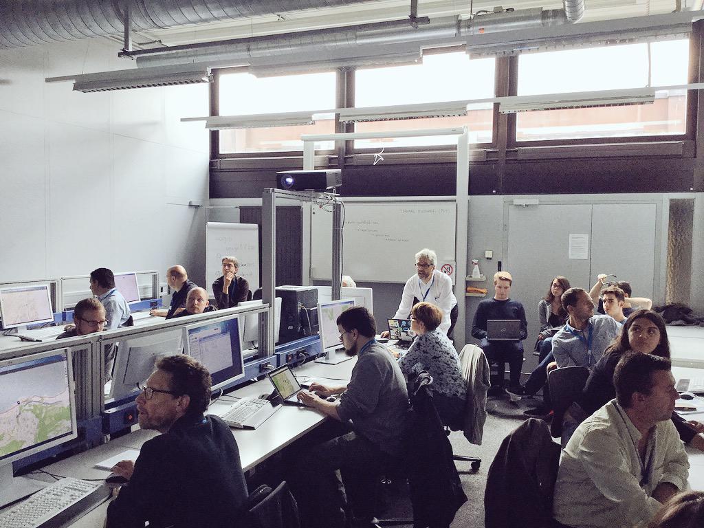
Packed room as @sfkeller takes us through a uMap demo with data from @OpenDataZurich (Twitter)
