Open Data at FOSSGIS 2013

FOSSGIS is the leading yearly German-speaking conference on Free and Open Source Software for Geographic information systems. Open Data and Open Street Map are major themes besides the focus on software platforms. The wiki has slides/papers from last year, and will soon be updated with the latest proceedings. Here you will find high quality videos from this year’s event.
Open data is a major topic that was discussed in keynotes and tracks including:
- Geo-Metadaten in OpenData Portalen
- Open Standards, Open Source, Open Data: Zuviel des Guten?
- Data quality of OSM in Switzerland
Congratulations to the Swiss Open Street Map community for launching their new portal at the conference, chock full of tools and accessible data: http://www.osm.ch/
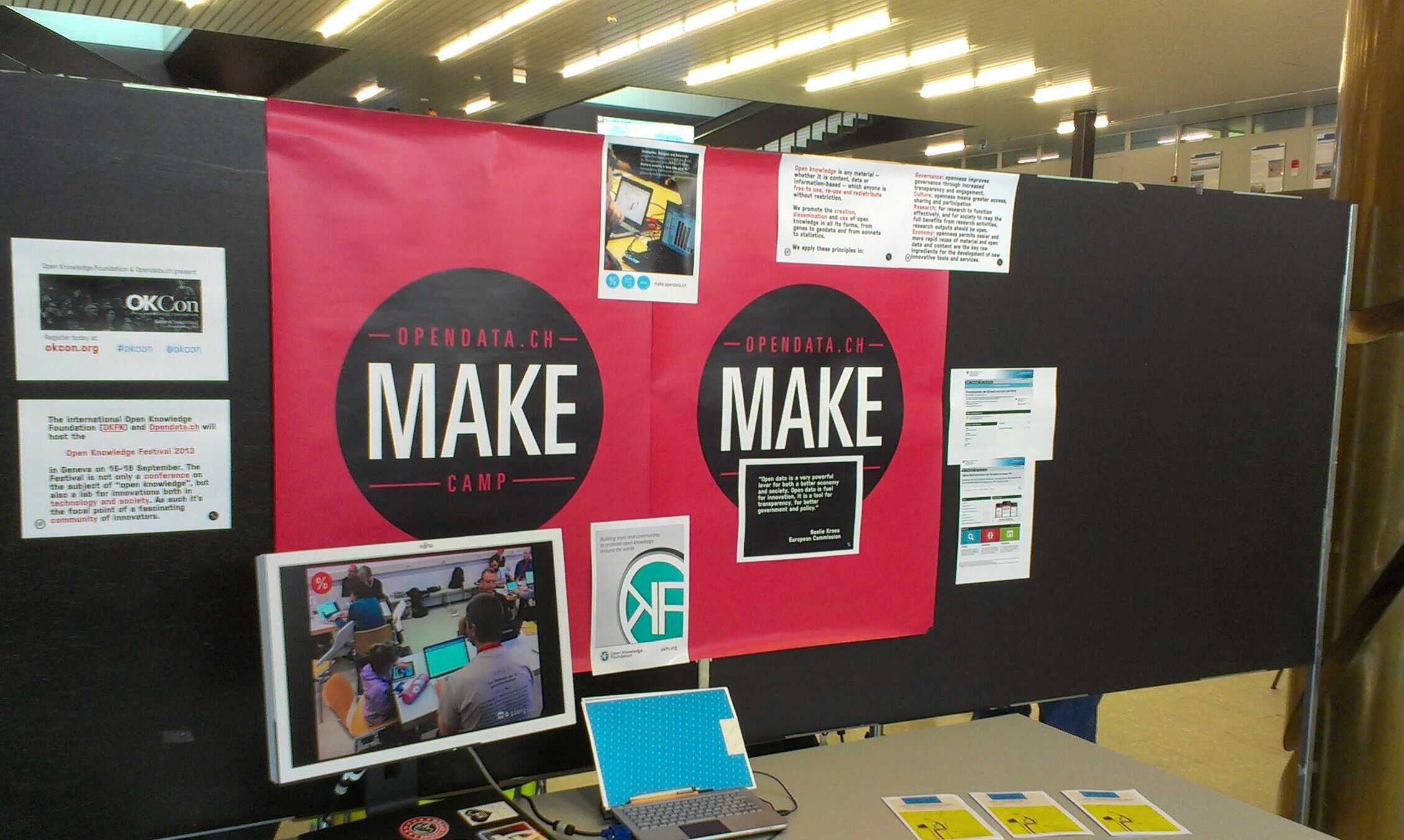
Representing the Opendata.ch association and our wider community, I set up a stand to inform visitors of our activities. We had a demo station running many of the projects created by our community, photos and stories about the events of the past three years, and visitors were able to take home any of the open source code or data they see to remix at home via shortlinks or QR Codes. Here is the project/event slideshow I had running for the three days.
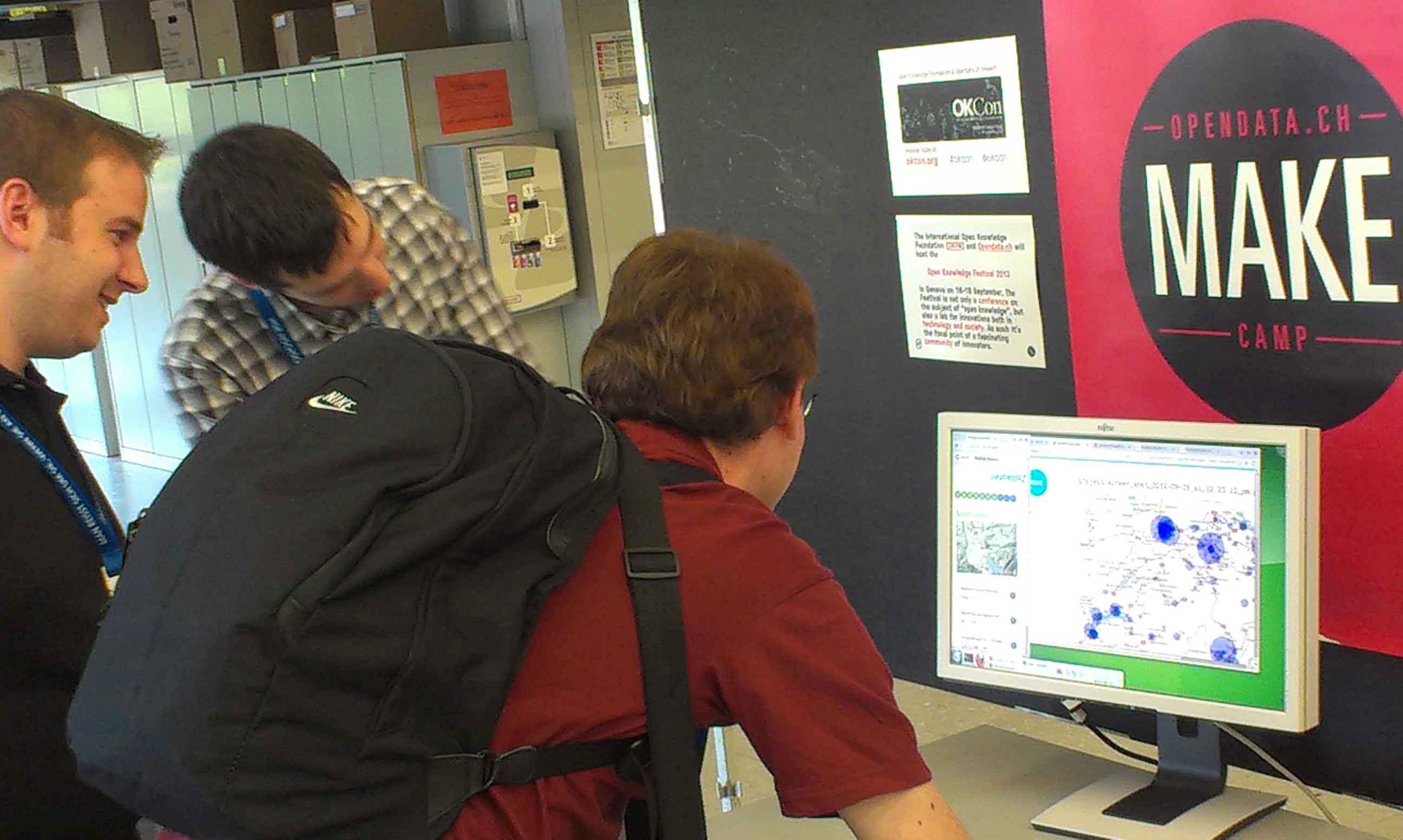
Many of our projects have referenced geographic data or used interactive maps for visualization, from an interactive statistical map, to comparing the finances and CO2 consumption of communities, plotting the indicators of hospitals and the saturation of train lines, to producing a historical pollution reportand army contaminated sites map for any location in Switzerland. Geographic data is a key starting point, and we work with OpenStreetMap, the federal geoportal GeoAdmin, local portals such asGeoportail in Geneva and GIS-Zentrum in Zurich, and many other sources of geographic data. There is lots of interest in our community for learning more, and it makes sense to keep open channels with the FOSSGIS community.
For more information on FOSSGIS 2013 and related events please visit their website, the FOSSGIS e.Vassociation, the Swiss OpenStreetMap Community, Open Source Geospatial Foundation (OSGeo), and this years hosts, the HSR Hochschule für Technik in Rapperswil.
If you have any questions about this intersection of interests in our communities, please post your thoughts here or on our forum.
